A whopping 350 kilometres of Canberra’s walking tracks are now available online, thanks to Google Street View and 26 Canberrans who love to walk!
Minister for the Environment and Heritage Mick Gentleman said the new street view maps will put Canberra’s walking tracks on show.
“People from around the world will now have access to our bush capital’s most spectacular views on Google Street View,” Mr Gentleman said.
“Tracks across Canberra’s nature reserves, Namadgi National Park and our most iconic lookouts have been captured on the Google platform.”
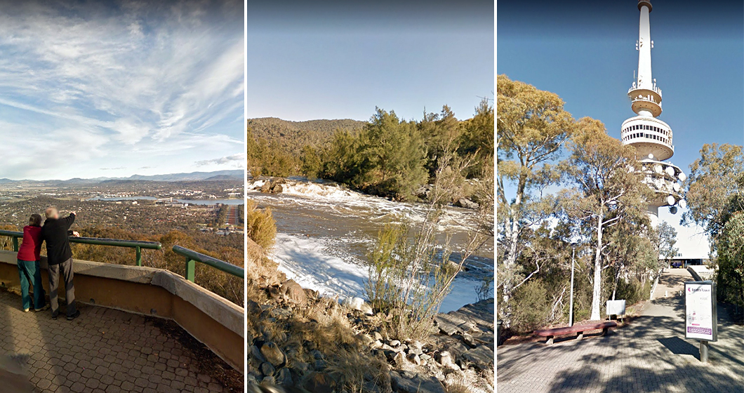
Highlights include views from Mount Ainslie, Mount Majura and Mount Painter, a walk through a light dusting of snow at Mount Franklin, the koala enclosure at Tidbinbilla Nature Reserve, the beautiful banks of the Molonglo River, an Australian Alps walking track and Honeysuckle Creek and Orroral Valley tracking stations.
“The footage was captured using the Google Trekker, a device made of 15 cameras mounted on top of a customised backpack, weighing 20kg,” Mr Gentleman said.
“The Google Trekker was carried on foot by 26 different ‘trekkers’ across 35 locations, with the trekkers’ ranks made up of employees, and volunteers from Friends of Bruce Ridge, Majura Pines Trail Alliance and the Canberra Bushwalkers Club.
Mr Gentleman said this work would help new people discover Canberra, as tourists increasingly seek nature-based holiday opportunities.
“I also encourage local residents to re-discover some of the walking tracks we have in our parks, and enjoy the health benefits that come with exploring what our beautiful landscapes have to offer.”
Discover the walks featured on Google Street View here.


